History
Chronology of Conservation
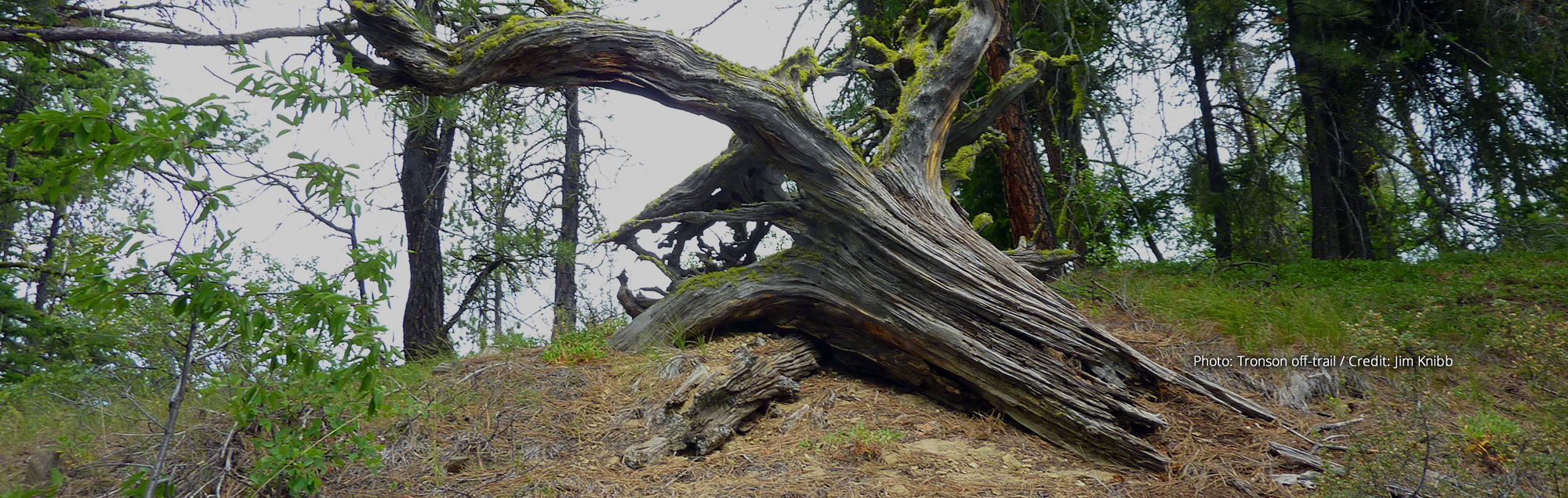
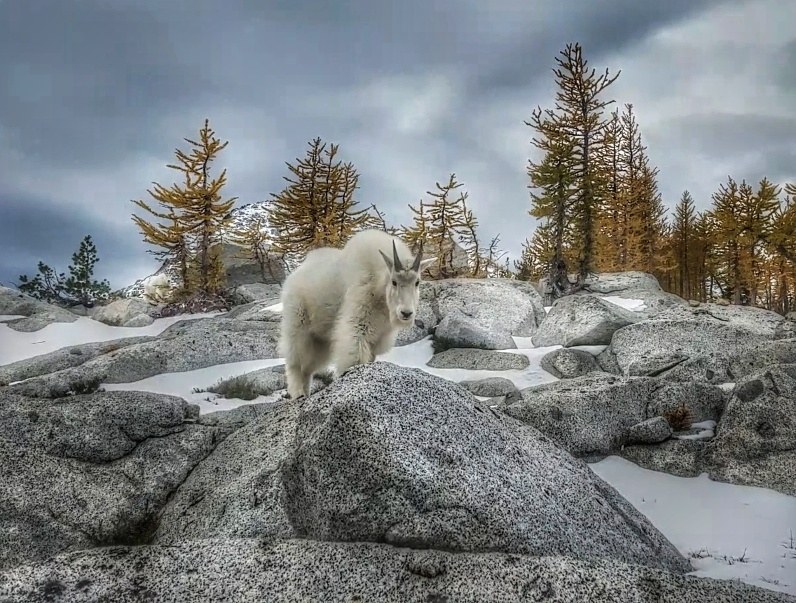
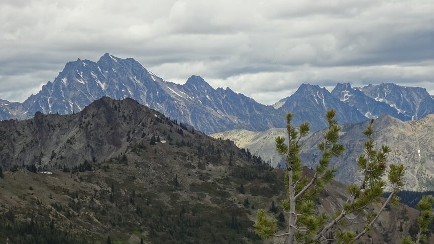
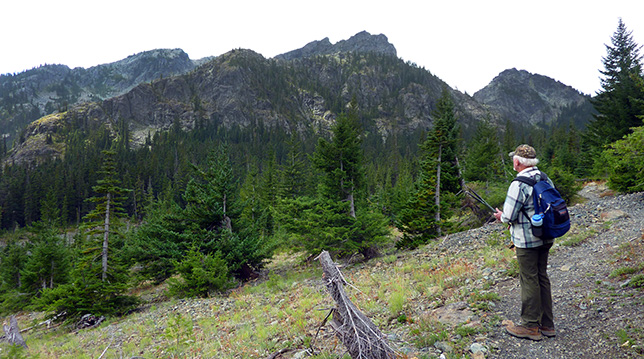
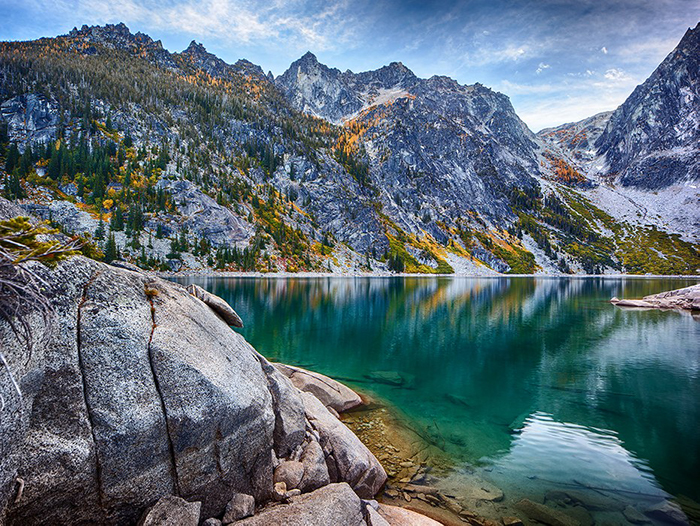
Alpine Lakes Region
Northern Pacific Land Grant (1864-1941)
In the mid-1800s Congress passed a series of acts designed to encourage the building of transcontinental railroads. In 1887 the Northern Pacific Railroad expected to receive through this land grant legislation title to every other square mile (odd numbered sections) 40 miles north and south from the track route that crossed the Cascades at Stampede Pass. The checkerboard ownership pattern generated by this land grant could potentially have extended from Grizzly Peak (north of Stevens Pass) south to near White Pass. This pattern included the entire Alpine Lakes region.
To acquire the deeds to these lands the Northern Pacific was required to complete several steps including surveying. The Secretary of Interior would then grant a patent (deed). However, due to litigation over mineralized lands and other issues, the Secretary never issued patents in some areas, including much of what later became the Alpine Lakes Wilderness. In 1941 the federal government and the Northern Pacific reached a settlement of all outstanding land claims. As a result, grants to the railroad in the core of the Alpine Lakes were withdrawn and those lands were retained by the federal government as part of the national forest. Except for a few land exchanges (e.g., Teanaway and Whitepine Creek), these landownership patterns did not change until after the Alpine Lakes Area legislation of 1976.
Forest Reserves/National Forests (1907-1930’s)
The Alpine Lakes region was included in the Washington Forest Reserve in 1907. A year later these lands became parts of the Snoqualmie and Wenatchee National Forests, with a few boundary additions in the 1920s and 1930s.
Ice Peaks National Park Proposal (1937)
In 1937 a committee of National Park Service officials proposed an Ice Peaks National Park, extending from Mt. St. Helens north to the Canadian border. In the Alpine Lakes region this proposal was largely confined to a relatively narrow swath of land straddling the Cascade crest. This proposal was never introduced in Congress. In 1940 the Forest Service officially opposed it.
Inter-agency Competition (1930s-1960s)
Even before the North Cascade region gained some protection in 1907, as a Forest Reserve, activists argued that it deserved greater protection as a national park. Not all locals supported that idea, arguing that a national park would have a negative economic impact. The U.S. Forest Service also resisted the idea of a national park as that would force it to relinquish control over the land. This was not uncommon since many national parks were created from lands originally managed by the Forest Service. In an effort to appease its detractors, the Forest Service instead designated Primitive Areas that would provide more protection to some of the most pristine regions it managed. By the mid-1930s, forester Bob Marshall argued that large tracts in the northern Cascades should be set aside as wilderness, as that would keep the National Park Service out. He feared the National Park Service mandate would force it to construct roads and other "improvements" for the sake of tourism. Rival interests continued to argue over whether the North Cascades should remain under Forest Service or National Park Service management.
Forest Service “Primitive Areas” and “Limited Area” Designations (1931-46)
The Forest Service initially established a “Primitive Area” in the North Cascades in 1931 and then enlarged it to 801,000 acres in 1935. Bob Marshall and Ferdinand Silcox then proposed a “Glacier Peak Wilderness Area” area of 795,000 acres in 1939 that extended from the “Primitive Area” near the Skagit River in the north to Benchmark Mountain in the south. However, both Marshall and Silcox unexpectedly died and their proposal died with them.
In 1940 the Forest Service established a land classification unique to the Pacific Northwest called a “Limited Area.” Before any development could occur in a Limited Area, the Forest Service would require further study. It created the Glacier Peak Limited Area in 1940, encompassing 352,000 acres, extending from near Trapper Lake in the north to Benchmark Mountain in the south. In 1946 the Forest Service created additional Limited Areas; one of the biggest being in the Alpine Lakes. The Alpine Lakes Limited Area encompassed 256,000 acres. It was contiguous with the Glacier Peak Limited area at Benchmark Mountain in the north and extended south to Snoqualmie Pass.
North Cascade Study (1963-65)
The National Park Service and the Forest Service continued their feud over which agency would manage wild lands in the West in the 1960’s. In the case of the North Cascades region in Washington State, President John F. Kennedy demanded, in what came to be known as the Treaty of the Potomac, that the National Park Service and the Forest Service conduct a joint study to identify areas suitable for wilderness and potential national park protection in the Cascade Mountains between Mt. Rainier and the Canadian border. That study made the first agency recommendation for wilderness in the Alpine Lakes region, comprising two units totaling 195,000 acres.
The North Cascades Study Team was composed of two members from the Forest Service, two members from the National Park Service, and a fifth member (the Study Team Chairman) jointly selected by both agencies. Each agency and the Study Team Chairman made recommendations for the study area. The Forest Service recommended no National Park lands, while the National Park Service saw opportunities for new and expanded parks and national recreation areas to be managed by the National Park Service. The Study Team Chair proposed North Cascades National Park (a Park Service recommendation), and acceptance of Forest Service recommendations elsewhere in the North Cascades. The recommendations for the Alpine Lakes included a larger single unit wilderness unit by the National Park Service and a smaller two-unit wilderness by the Forest Service. In 1968 Congress enacted legislation based on parts of the North Cascades study, and excluded the Alpine Lakes region due to the major differences between the Forest Service and the National Park Service positions.
Roadless Area Review and Evaluation (RARE) I (1973)
The Wilderness Act of 1964 ordered the Forest Service to conduct an inventory of lands suitable for classification as Wilderness, and to recommend to Congress which of these parcels should be designated Wilderness. In 1973 the Forest Service conducted a study of undeveloped/roadless lands (Roadless Area Review and Evaluation I). In October 1973, John McGuire, Chief of the Forest Service, published a final EIS entitled Selection of New Study Areas from the Roadless and Undeveloped Areas Within the National Forests. This study selected six contiguous roadless areas in the Alpine Lakes region, encompassing 401,880 acres between Stevens and Snoqualmie Passes, for a dedicated study as Wilderness. The final EIS also selected a Grizzly Peak roadless area of 55,900 acres north of Steven Pass (part of the 1946 Limited Area) for Wilderness study. Both areas were called Wilderness Study Areas.
Alpine Lakes Wilderness Study (1972-75)
After creation of the North Cascades National Park in 1968, conservationists' interests turned to the Alpine Lakes region. Conservationists were dissatisfied with the 1965 North Cascades study because of its Alpine Lakes recommendation and asked for a new study of Wilderness for the region. The Forest Service eventually agreed and assembled a study team in 1972. The Forest Service study started with the RARE I recommendations for the six Wilderness Study Areas noted above. The Forest Service completed its Alpine Lakes Area Study in 1975 after substantial public involvement, and it included a recommendation to Congress for 292,192 acres of Wilderness on federal lands plus an additional 82,150 acres of checkerboard lands as “Potential Wilderness.” However, the Forest Service did not suggest how the private lands within the “Potential Wilderness” ought to be acquired. During the legislative process Congressman Lloyd Meeds created the “Intended Wilderness” concept, which ultimately provided that checkerboard lands intended for wilderness would automatically be added to the wilderness once the government acquired the intermingled private lands.
The Congressional Process and the Alpine Lakes Area Management Act of 1976 (1975-76)
A campaign focused on the region was underway by 1963 when conservation groups proposed that the Forest Service’s Limited Area be replaced with a formally designated, larger wilderness area. The final legislative campaign began in 1975, after the Forest Service had completed its Alpine Lakes study and transmitted its findings to Congress. This proposal recommended a single-unit Wilderness Area that was much larger than the proposal in the 1965 North Cascades Study Team report.
By 1975 several ideas had emerged on how the Alpine Lakes region should be managed and how much should be designated as wilderness. The timber industry sponsored a bill that essentially proposed the recommendations of the 1965 North Cascades Study Team. Conservationists including the Alpine Lakes Protection Society (ALPS) proposed a single large Wilderness area included within a National Recreation Area. The Forest Service recommendation, the result of its Alpine Lakes Study process, was documented in the “Report on the Proposed Alpine Lakes Wilderness,” dated May 20, 1975.
All three bills were introduced in 1975 by the entire Washington state congressional delegation. Congressman Lloyd Meeds (D) took the lead in moving the issue forward. There was strong bipartisan support from most of the state’s delegation, including Congressmen Brock Adams (D), Don Bonker (D), Tom Foley (D), Floyd Hicks (D), and Joel Prichard (R). While conservationists had proposed a Wilderness of 575,000 acres, Congress backed away from this vision when they selected the US Forest Service bill and its Wilderness boundaries as the “mark-up vehicle". The smaller Forest Service bill, as introduced, included 292,192 acres as Wilderness and 82,150 acres of checkerboard lands as “Potential Wilderness.” Congressional hearings were held in Washington D.C., Seattle, and Wenatchee in 1975. There was little support for the Forest Service proposal, and strong citizen support for the conservationist proposal, while the timber industry pushed its legislation. In the spring of 1976 Congressman Meeds staff drafted a compromise bill that passed both houses of Congress. During the entire Congressional process conservationists were able to add an additional 19,000acres to the Forest Service recommendation. The Forest Service urged President Ford to veto the final bill. Washington Governor Evans travelled to Washington D.C. to urge the President to sign the legislation, and he did so on July 12, 1976 (Public Law #94-357).
In its final form, the Alpine Lakes legislation incorporated these features:
- An instant Wilderness of 306,934 acres (solid federal ownership);
- An Intended Wilderness (including both national forest and intermingled private lands) of 86,426 acres with a mechanism for acquiring the private lands and adding them to the Wilderness without further Congressional action.
- A “Management Unit” surrounding the wilderness of about 547,155 acres. The Management Unit concept evolved out of the ALPS proposal to include the wilderness core within a National Recreation Area.
- Direction to the Forest Service to prepare a single management plan encompassing both national forests to address the newly established Alpine Lakes Management Unit.
Alpine Lakes Wilderness Management Plan (1981)
The Forest Service completed the congressionally-mandated management plan for the Alpine Lakes in 1981. While this plan contained a number of features, it significantly established administrative protections for 156,816 acres of unroaded lands outside the designated Wilderness and Intended Wilderness. These protections included the Mt Index Scenic Area, Nason Ridge Recreation Area, Teanaway Recreation Area, Tumwater Canyon Scenic and Botanical Areas, Annette Lake Recreation area, plus protection of sizeable amounts of roadless lands. Additionally and significantly, it established priorities for acquisition of non-federal lands (and disposal of federal lands) within the Alpine Lakes. These priorities set the stage for a series of land exchanges and purchases that are on-going.
Land Acquisition (1979-2014)
After passage of the 1976 Alpine Lakes legislation, work began immediately on acquiring non-federal land within the Intended Wilderness and other properties where private owners were willing to work with the Forest Service.
Some of these acquisitions extended outside the Intended Wilderness boundaries (including the Pratt River Valley) when Weyerhaeuser took advantage of this land acquisition process to dispose of certain properties inside the national forests. Burlington Northern (successor to the Northern Pacific Railroad) preferred essentially to dispose only of its holdings within the Intended Wilderness. Pack River, which had acquired lands in the Wenatchee River/Icicle Creek area, opted to be bought out. Acquisitions of these lands resulted in an additional 18,700 acres of lands administratively protected lands (see above) because of their proximity to similar land management allocations on adjacent federal land.
Where funding was required to complete these acquisitions, the Land & Water Conservation Fund provided the monies. The initial acquisitions encouraged further purchases and exchanges over the next 40 years. As a result, the Forest Service has acquired a number of important areas, which simplified management and protected key values. By the 1990’s approximately half of the timber industry ownerships that existed within the Management Unit in 1976 had been acquired with most of these parcels added to the national forests.
Washington Wilderness Act (1983-84)
In 1984 Congress passed legislation addressing the management of other roadless national forest lands. This bill created the Henry M. Jackson Wilderness (103,000 acres) that included the Grizzly Peak roadless area and the northern portion of the Alpine Lakes Limited Area.
Pratt River Wild & Scenic River Bill (1988)
In an attempt to remove a threat to road and log the Pratt River valley in late 1980’s, Congressman John Miller introduced a Pratt River Wild and Scenic River bill in 1988. It did not pass.
Wild and Scenic Rivers Recommendations in 1990 Forest Plans
No changes were made to the Alpine Lakes Area Management Plan when national forest plans were updated in the first round of forest planning in 1990. Significantly, the Mt. Baker-Snoqualmie National Forest did not identify/inventory any roadless areas adjoining the Alpine Lakes Wilderness during its forest planning activity. It justified this decision on the relatively recent completion of the 1981 Alpine Lakes Management Plan. However, the Wenatchee National Forest did identify and inventory roadless areas adjoining the wilderness. During this process, conservationists worked hard to identify eligible rivers with their headwaters in the Alpine Lakes and supported their inclusion in the national Wild and Scenic Rivers system. As a result of these citizen inputs, the 1990 forest plans recommended a number of Wild and Scenic rivers on both the Mt Baker-Snoqualmie and Wenatchee National Forests. These recommendations included seven Alpine Lakes area rivers (Pratt, Taylor, Middle and North Forks of the Snoqualmie on the west side, and the Waptus, Cle Elum, and Icicle Creek on the east side). Prior to 2007 Congress had not acted on these agency recommendations. However, in 2014 Congress designated the Middle Fork Snoqualmie and Pratt Rivers as Wild and Scenic Rivers.
The Northwest Forest Plan (1990-94)
In April 1990 the Forest Service released the report of the Federal Ecosystem Management Assessment Team, headed by Jack Ward Thomas (a predecessor to the 1994 Northwest Forest Plan). This report recommended the Pratt River and other areas on both national forests for protection as spotted owl conservation areas.
Further spotted owl studies also recommended protecting the Pratt and many other areas. These ultimately received administrative protection under the 1994 Northwest Forest Plan as late successional reserves. This 1994 plan administratively withdrew many of the lands outside the Wilderness from timber cutting and road construction. This plan is currently being revised, meaning the 1994 protections could be vulnerable.
I-90 Wilderness Study Area (1999)
In 1999, as a part of a legislated land exchange between Plum Creek and the Forest Service, Congress established the I-90 Wilderness Study Area (about 17,000 acres) in the Cle Elum Ranger District. The Forest Service was to recommend additions to the existing Alpine Lakes Wilderness from this Wilderness Study Area. The draft recommended most of the Wilderness Study Area be added to the Alpine Lakes Wilderness, but the study was never completed. Instead, it was folded into the Okanogan-Wenatchee Forest Plan Update process. In 2011, the Okanogan-Wenatchee National Forest preferred alternative for an updated land and resource management plan significantly reduced the size of the original 2002 Wilderness Addition proposal. The Okanogan-Wenatchee NF forest planning process, in work since about 2004, had apparently been cancelled by 2019.
Roadless Rule (2000)
The Roadless Rule was developed and adopted in 2000 by the Forest Service to address management of all National Forest System Lands to protect inventoried roadless lands from development. The Mt Baker-Snoqualmie National Forest took the position that Congress was done with Wilderness in the Alpine Lakes Area and ‘inventoried no roadless’ lands in the Alpine Lakes part of the forest. The Okanogan-Wenatchee National Forest took the opposite position and inventoried 184,000 acres of roadless areas within its portion of the Alpine Lakes (as noted during the Forest Planning process above.). Inventoried Roadless Areas are administratively withdrawn from timber cutting and road construction. However, these administrative protections are under attack by some elements in Congress seeking to eliminate them from national forests in selected states.
Land Exchanges and Wilderness Donations (1999-2001)
In addition to the land exchanges started by the 1976 legislation, other significant land exchanges and purchases have occurred within the Alpine Lakes region. The Plum Creek I-90 Land Exchange (1999) resulted in the transfer of substantial company lands to the national forest in the Cle Elum Ranger District, along with a small donation to wilderness at Twin Lakes. The Weyerhaeuser Huckleberry Land Exchange (2001) blocked up national forest lands in the Snoqualmie Ranger District, plus donations of land at Loch Katrine and Boomerang Lake as wilderness additions.
Wild Sky Wilderness (1999-2008)
Conservationists renewed the campaign for wilderness protection in Washington state in 1999. After a protracted effort entailing coordination, education, and consolidation of public support these efforts were rewarded. On May 8, 2008, President George W. Bush signed the Wild Sky Wilderness Act (H.R. 886/S. 520), as part of the Consolidated Natural Resources Act of 2008 (S. 2739). The Wild Sky comprised 106,577 acres of national forest land north and west of Stevens Pass. Congressman Rick Larsen (D) and Senator Patty Murray (D) lead the way and were unwavering in their commitment to wilderness protection. The Wild Sky Wilderness Act became the first national forest wilderness created in Washington state in 24 years. The Wild Sky incorporated some of the last unprotected portions of the 1946 Limited Area north of Stevens Pass.
Middle Fork Snoqualmie area conservation (1987-2011)
The Middle Fork Snoqualmie region has also received significant attention from other government agencies including the Washington State Department of Natural Resources (DNR) and King County. The DNR established the Mt Si Conservation Area in the late 1970’s and then pursued several land exchanges west of the national forest boundary. The Mt Si area has been expanded in several phases and was redesignated as a Natural Resource Conservation Area in 1987. The Mt Si area now comprises 13,735 acres.
The DNR also established the Middle Fork Snoqualmie Conservation Area 2011 that now encompasses 9,198 acres. This new area adjoins the Mount Si Conservation area, creating a protected forested landscape from the city of North Bend into Mt.-Baker Snoqualmie National Forest.
King County has also assisted in further conservation work by purchasing key parcels along the Middle Fork Snoqualmie valley as county parklands.
These natural resource conservation areas and county lands along with the expanded Alpine Lakes Wilderness (see below) established a large block of low elevation, protected habitat that is unique on the west slope of the Cascades.
Alpine Lakes Wilderness Additions (2014)
Starting in 2007, ALPS and a coalition of conservation and recreation groups worked to develop a concept of and local support for expansion of the Alpine Lakes Wilderness in the Middle and South Forks of the Snoqualmie River. On December 19, 2014, President Barack Obama signed a law designating more than 22,000 acres of rare low-elevation forest as an addition to the Alpine Lakes Wilderness and designated 28.3 miles of the Middle Fork Snoqualmie and 10 miles of the Pratt Rivers as Wild & Scenic. Senator Patty Murray (D), Congressman Dave Reichert (R) and Congresswoman Suzan DelBene (D) led this legislative effort.
Middle Fork Snoqualmie and Pratt Rivers Comprehensive River Management Plan (2022)
In 2022 the Forest Service completed the Comprehensive River Management Plan for the two noted rivers pursuant to the direction of the Wild and Scenic Rivers Act. This plan defines the river corridor boundaries and the detailed management direction for the corridor lands to protect the outstandingly remarkable values of the two rivers. While the river corridor includes designated Wilderness in the Middle Fork Snoqualmie, this corridor also overlays about 4500 acres of federal lands beyond the Wilderness.
* * * *
December 2022
Authors: Don Parks and Bill Beyers. Comments by David Knibb, Doug Scott, Charlie Raines, Ron Eber, Dave Redman (USFS), and Gary Paull (USFS).
Selected Sources:
Harvey Manning with the North Cascades Conservation Council. Wilderness Alps, Conservation and Conflict in Washington’s North Cascades. Bellingham, Washington: Northwest Wild Books, 2007.
David Knibb. Backyard Wilderness, The Alpine Lakes Story. Seattle, Washington: The Mountaineers, 1982.
The North Cascades Study Team. The North Cascades Study Report. U.S. Department of the Interior & U.S. Department of Agriculture: U.S. Government Printing Office, 1965.
Draft Environmental Impact Statement on a Recommended Land Use Plan for the Alpine Lakes Area of the State of Washington. U.S. Department of Agriculture, Forest Service, July 1973.
Final Environmental Impact Statement on a Recommended Land Use Plan for the Alpine Lakes Area of the State of Washington. U.S. Department of Agriculture, Forest Service, September 1974.
A Proposal Alpine Lakes Wilderness Mt Baker-Snoqualmie and Wenatchee National Forests, Washington. U.S. Department of Agriculture, Forest Service, May 20, 1975.
Final Environmental Impact Statement Alpine Lakes Area Acquisitions. U.S. Department of Agriculture, Forest Service, 1979.
Final Environmental Impact Statement Alpine Lakes Area Land Management Plan, Chelan, King, Kittitas, Snohomish Counties. U.S. Department of Agriculture, Forest Service, 1981.
Final Supplemental Environmental Impact Statement on Management of Habitat for Late Successional and Old Growth Forest Related Species Within the Range of the Northern Spotted Owl. U.S. Department of the Interior & U.S. Department of Agriculture, Forest Service and Bureau of Land Management, 1994.
Final Environmental Impact Statement Forest Service Roadless Area Conservation. U.S. Department of Agriculture, Forest Service, 2000.